Severe Weather Warning In Place For Intense Rainfall and Wind
"Rivers will rise quickly"
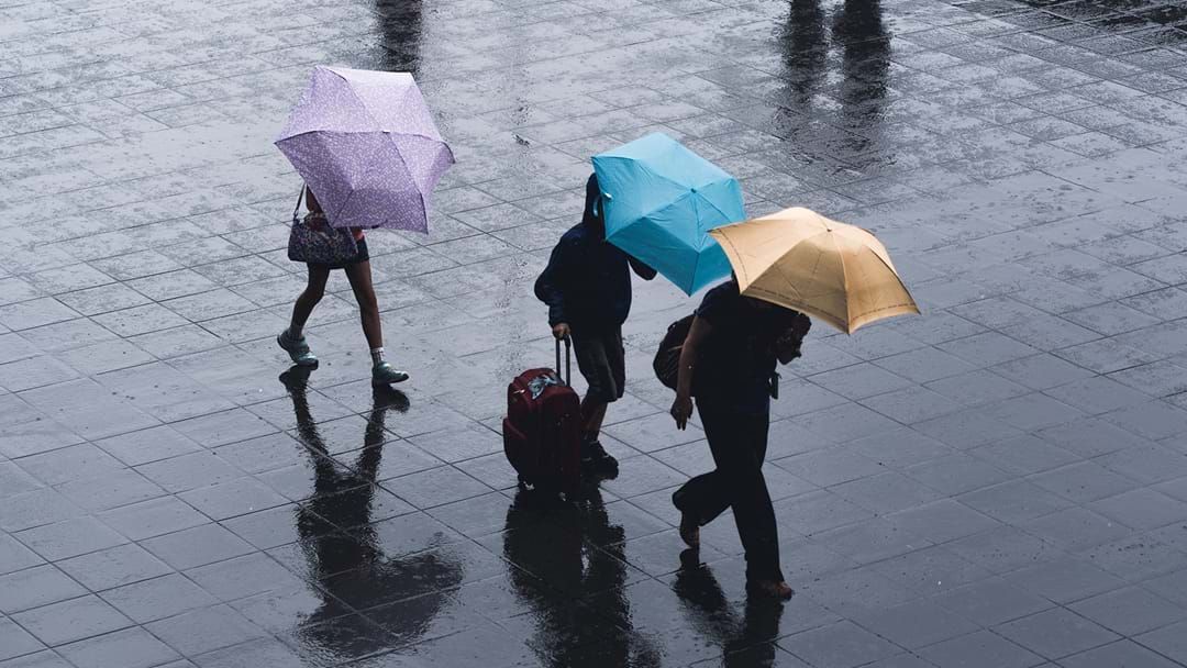
Unsplash
Heavy rainfall has the potential to cause flash flooding in northern Tasmania overnight Wednesday and into Thursday.
A severe weather warning is in place in the state’s north and central regions, and the east coast, which is predicted to be hit by dangerous winds.
Stay up-to-date on the latest news with The Tasmania Briefing - keeping you in the loop with news as it hits:
The Bureau of Meteorology has forecasted the 24-hour total on Thursday to be between 60 to 120mm, with isolated totals peaking 200mm over higher terrain.
Locally intense rainfall which may lead to dangerous and life-threatening flash flooding is also possible over inland parts of northwest Tasmania particularly around the Western Tiers, with six-hourly intense rainfall totals up to 100 mm, and 24-hour totals in excess of 300mm.
State Emergency Services said widespread minor or moderate flooding is likely from Thursday and major flooding is possible at some locations.
“People are encouraged to be aware of the forecast and prepare their property before the rain arrives,” SES Acting Director Leon Smith said.
“This means knowing your flood risk and understanding whether your property is prone to flooding.
“With the ground being saturated in many areas of Tasmania, rivers will rise quickly over coming days.”
Locations predicted could be affected include: Burnie, Devonport, Launceston, St Helens, Strahan and Swansea.
Visit the Bureau of Meteorology for the latest weather warnings.
For Australians looking for intelligent and unbiased news coverage, join renowned journalist Natarsha Belling on Your Morning Agenda for breaking national and international stories as well as the top business and finance stories - every weekday from 6:30am on Listnr: